CYNTHIA BAY, LAKE ST. CLAIR WITH MT. IDA IN DISTANCE, TASMANIA,, c.1880s
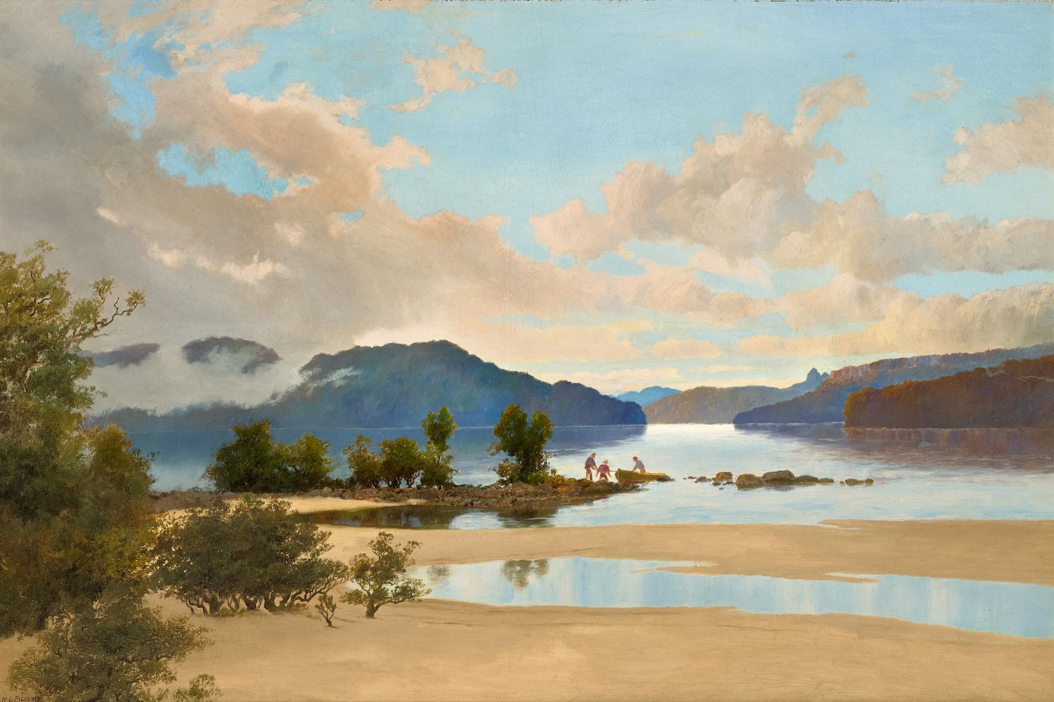
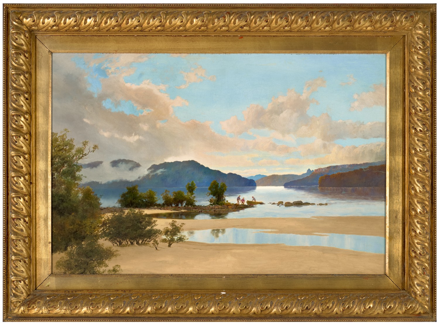
WILLIAM CHARLES PIGUENIT
oil on canvas
72.0 x 108.0 cm
signed lower left: W C PIGUENIT
Private collection
Deutscher Fine Art, Melbourne
Private collection, Brisbane, acquired from the above in 1984
Australian Paintings: Colonial / Impressionist / Early Modern, Deutscher Fine Art, Melbourne, 30 October – 16 November 1984, cat. 35 (illus. in exhibition catalogue)
The following excerpts are from Johannes, C.E. and Brown, A.V., W.C. Piguenit 1836 – 1914: Retrospective, Tasmanian Museum and Art Gallery, Hobart, 1992, pp. 25 – 26:
Born in Hobart in 1836, during the early 1880s W.C. Piguenit and his family moved permanently to Sydney. However, he never forgot ‘the tight little island that I am proud to call my native land’1, and spent time in Tasmania in 18842, returning in 1887 for one last trip into the Western Highlands. He was now fifty-one and would soon no longer have the physical stamina required for the rigours of such explorations. He joined Charles Sprent’s planned ‘West Coast Party’3 which consisted of many eminent Tasmanians, amongst them James Backhouse Walker and Colonel W.V. Legge who would both leave accounts of the overland trip. It also included Piguenit’s old friend R.M. Johnstone who indeed may have invited Piguenit to come…
…The West Coast Party left Hobart on 17 February and followed much of the same route Piguenit had taken with Scott in 1873 as far as Lake St Clair. But from there the men veered west south-west across the Navarre Plain, past Mt King William and the King William Range, past Mt Arrowsmith, Mt Rufus, Mt Gell, and The Frenchman’s Cap. The track was incredibly rough… On 20 February the party camped on the Cardigan River.4 Next morning, most of the men continued to the King River, but Piguenit and Legge, ‘wishing to see more of the beautiful scenery in the vicinity pf Lake St Clair, and taking no interest in the King River mines, returned to King William…’5
…On the way out, the West Coast Party had spent a couple of afternoon hours wandering over Lake St Clair’s sandy beach in damp and chilly weather when the lake or rather, the mountains round it were covered with flying clouds and mist… as snow showers passed over and great peak after peak loomed through the gloom, forming a splendid vista of mountains… Everyone had been impressed by the grandeur of the scene…’6
1. Letter from W.C. Piguenit to Andrew Inglis, 12 April 1888 in A.J. Clark Papers, University of Tasmania Archives, Hobart
2. This evidence is provided by a pencil sketch, Mount Wellington from Old Beach, 1884, now in the collection of the Queen Victoria Museum and Art Gallery, Launceston.
3. Charles P. Sprent was Deputy Surveyor General of Tasmania.
4. The Cadigan is a river halfway between Lake St Clair and modern-day Queenstown.
5. W.V. Legge, ‘The Highlands of St Clair’, Papers and Proceedings of the Royal Society of Tasmania for 1887, The Mercury, Hobart, 1888, p. 117
6. Backhouse Walker, J., Walk to the West, 1887, p. 7